Trail Walking La Léchère - Les Portes de Montmélian - Photo

Les Portes de Montmélian

 franquen
franquen

User

© OpenStreetMap contributors
Length
Length
13.3 km
Max alt
Max alt
2444 m
Uphill gradient
Uphill gradient
905 m
Km-Effort
Km-Effort  
25 km
Min alt
Min alt
1605 m
Downhill gradient
Downhill gradient
921 m
Boucle
Boucle
Yes
Creation date :
2016-08-28 00:00:00.0
Updated on :
2016-08-28 00:00:00.0

(0 Reviews)

Walking
Walking
5h04
Difficulty : Medium

Scan this QR Code to open this trail in the SityTrail application

FREE GPS app for hiking

Logo SityTrail SityTrail

IGN / Geographical institutes

Download SityTrail from the App Store Download SityTrail from Google Play

Logo SityTrail SityTrail Plus

The world is yours!

Download SityTrail from the App Store Download SityTrail from Google Play Download SityTrail on Huawei AppGallery

About

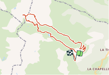
Trail Walking of 13.3 km to be discovered at Auvergne-Rhône-Alpes, Savoy, La Léchère. This trail is proposed by franquen.

Description

départ sur la route du refuge "le Logis des fées" (après le village le plus haut de Celliers) vers le lac le Branlay, puis les portes de Montmélian (sentier mal indiqué) puis retour par le lac d'Arpettaz et le refuge.De très beaux paysages et une vue magnifique sur les massifs.Attention aux patous si vous avez un chien.

Elevation profile

Positioning

Country:
France
Region :
Auvergne-Rhône-Alpes
Department/Province :
Savoy
Municipality :
La Léchère
Location:
Celliers
Start:(UTM)
297328 ; 5039783 (32T) N.


Close
My subscriptions